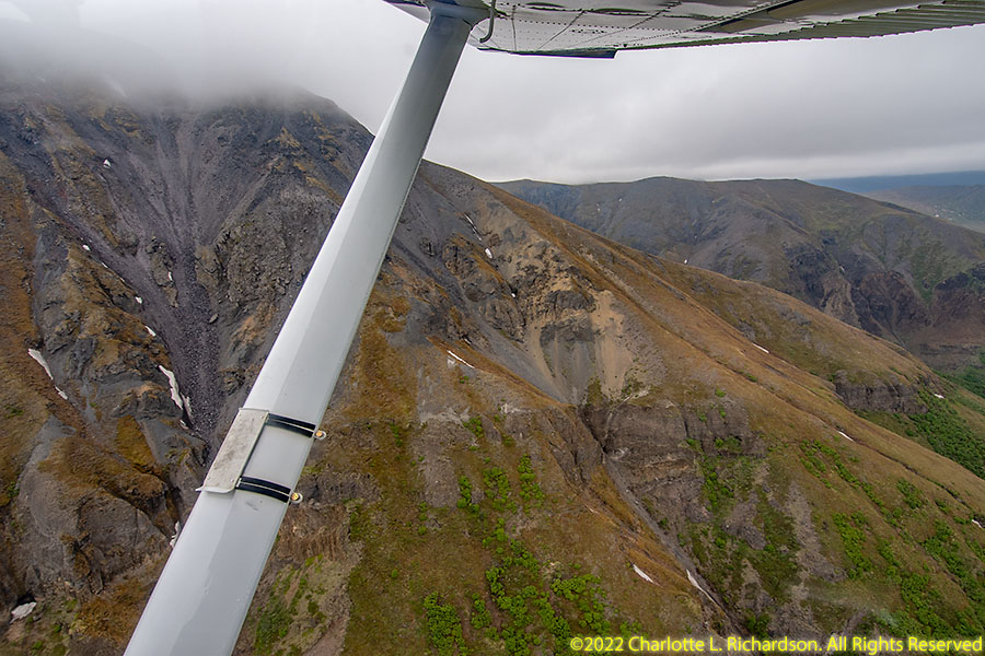
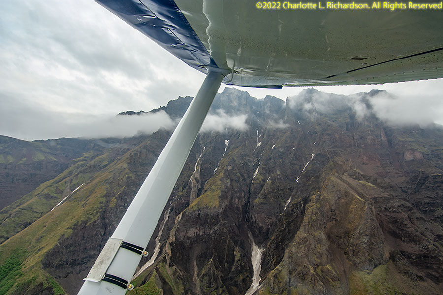
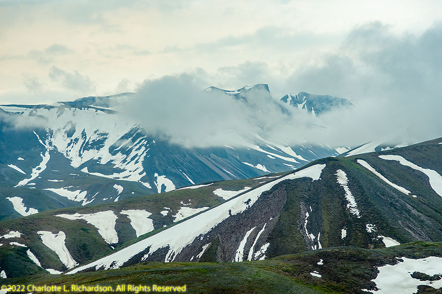
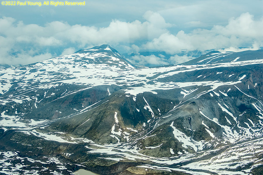
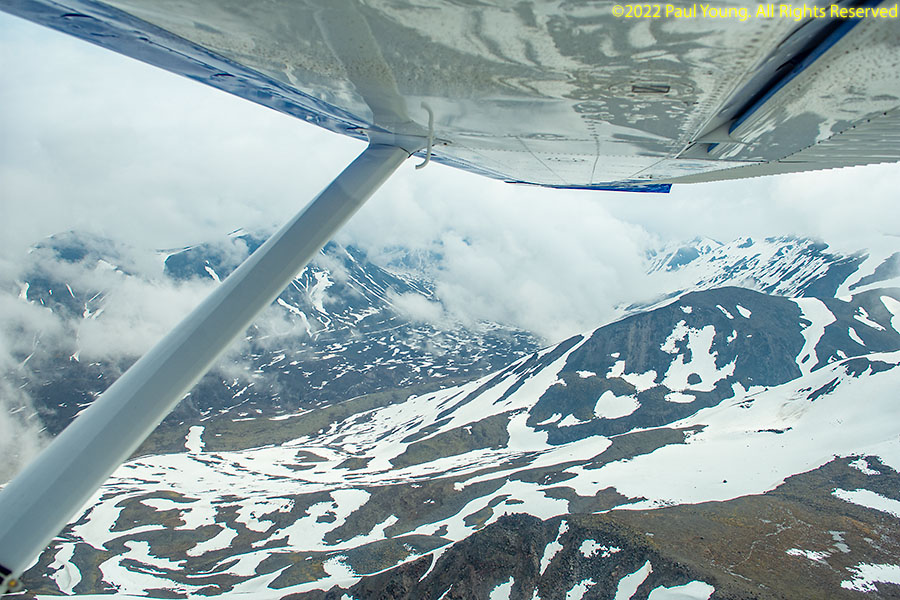
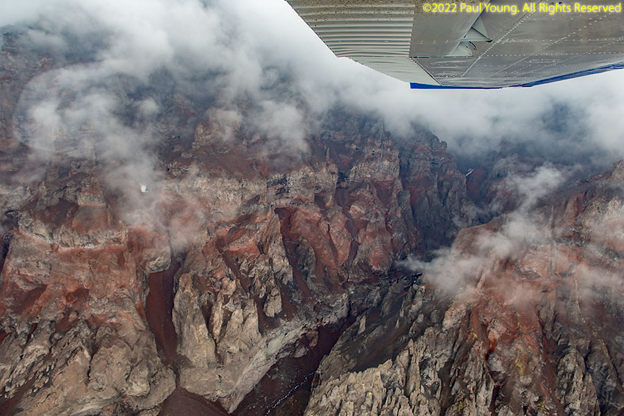
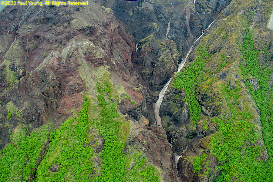
Wrangell-St. Elias National Park and Preserve was established in 1980 to form the largest area managed by the National Park Service, more than 20,500 square miles, over 15% of all national park land in the United States. The park includes most of the St. Elias Mountains including nine of the sixteen highest peaks in the United States and Canada. The highest is Mount Saint Elias at 18,008', the second highest mountain in both the United States and Canada. Mount Wrangell is an active volcano, one of several in the western Wrangell Mountains, which are entirely within the park. It also includes the eastern portion of the Chugach Range and several smaller mountain ranges.
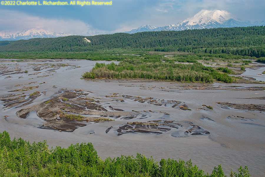
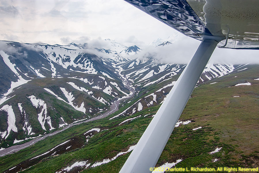
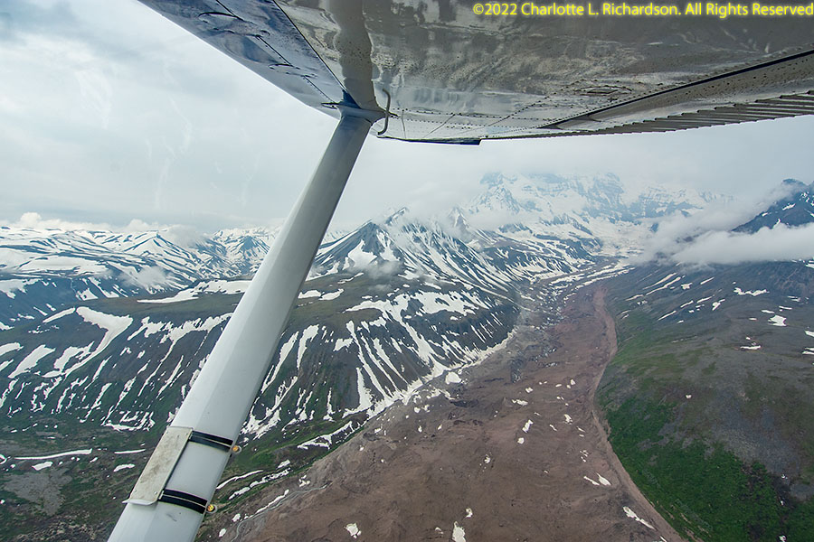
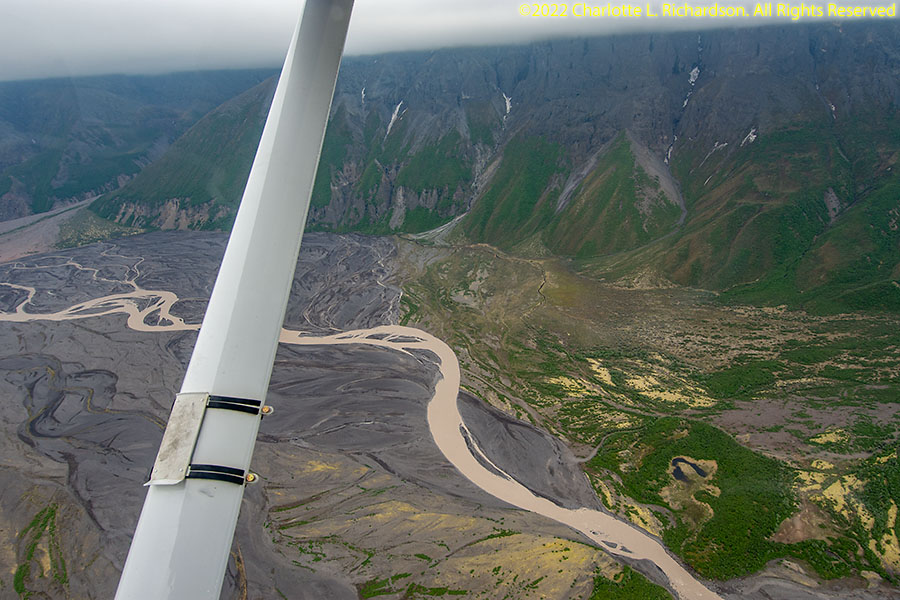
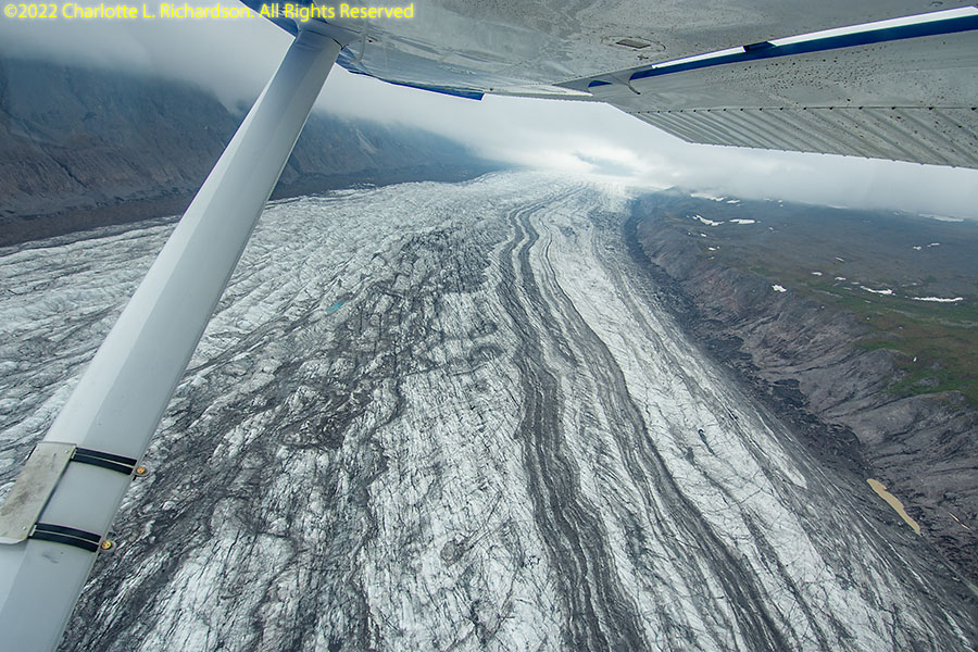
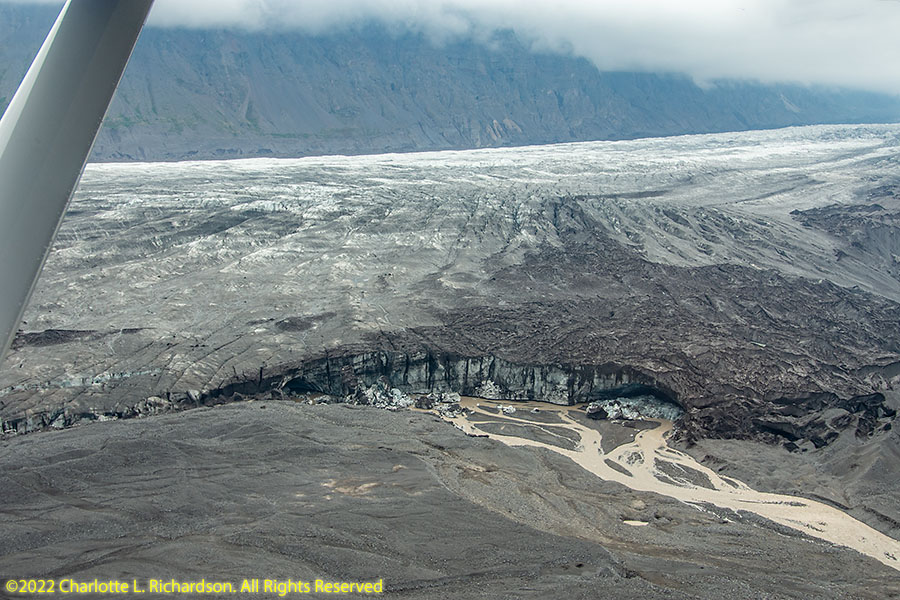
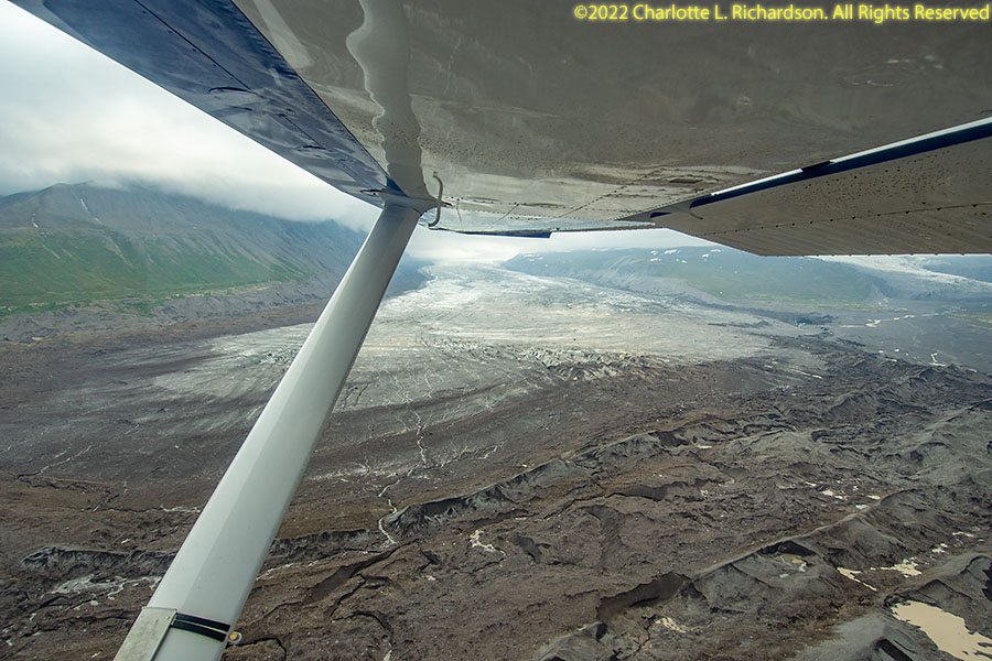
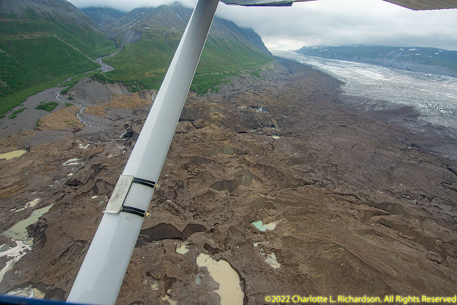
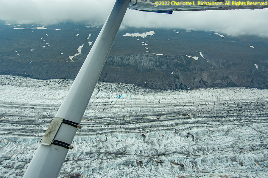
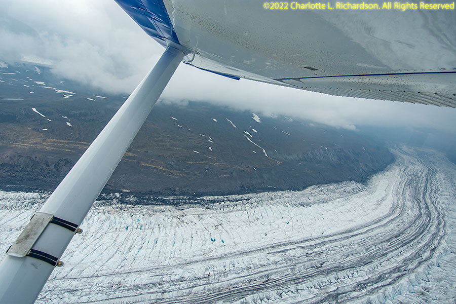
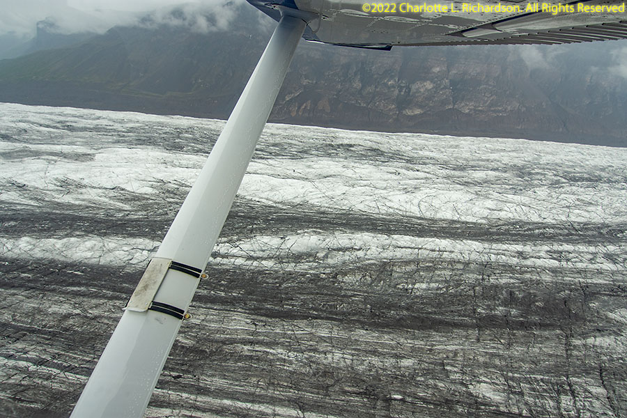
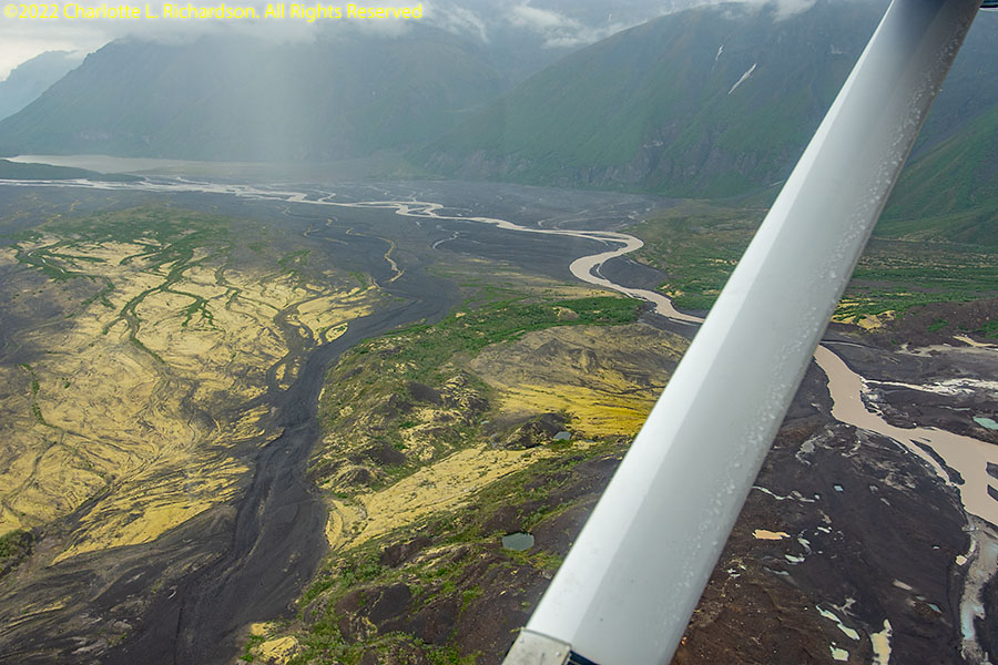
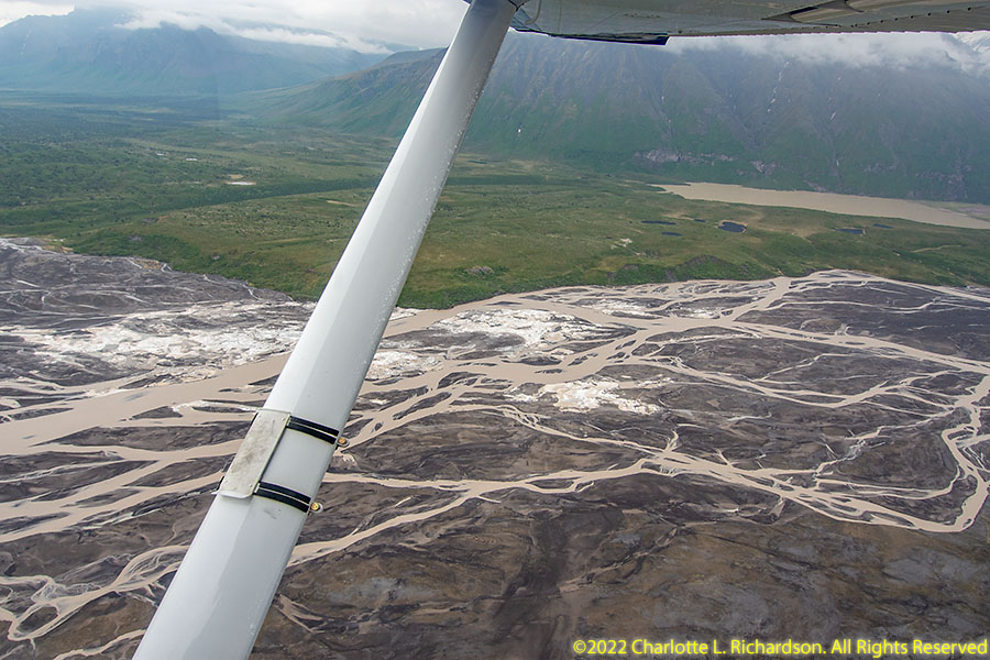
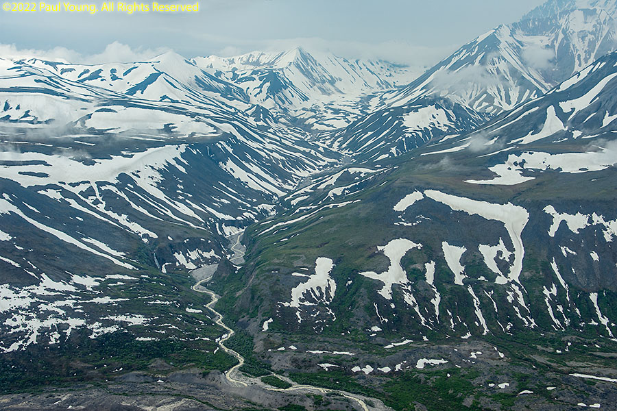
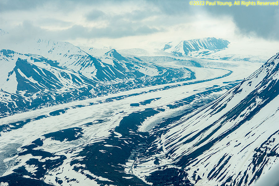
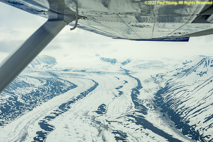
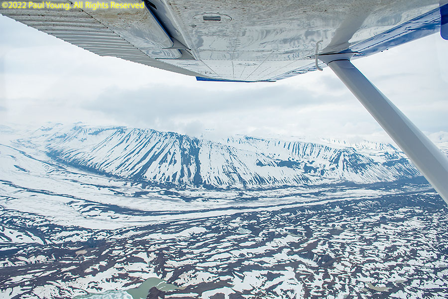
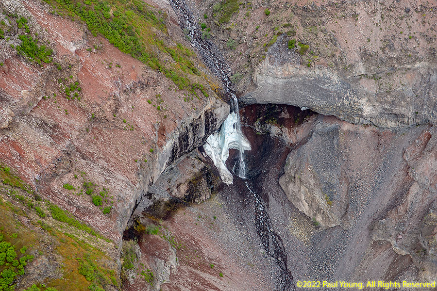
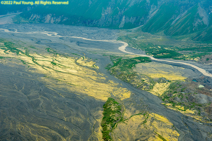
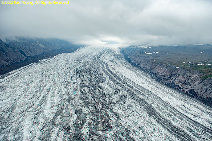
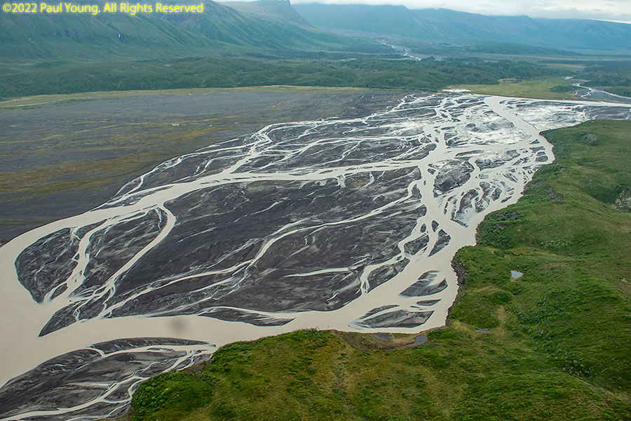
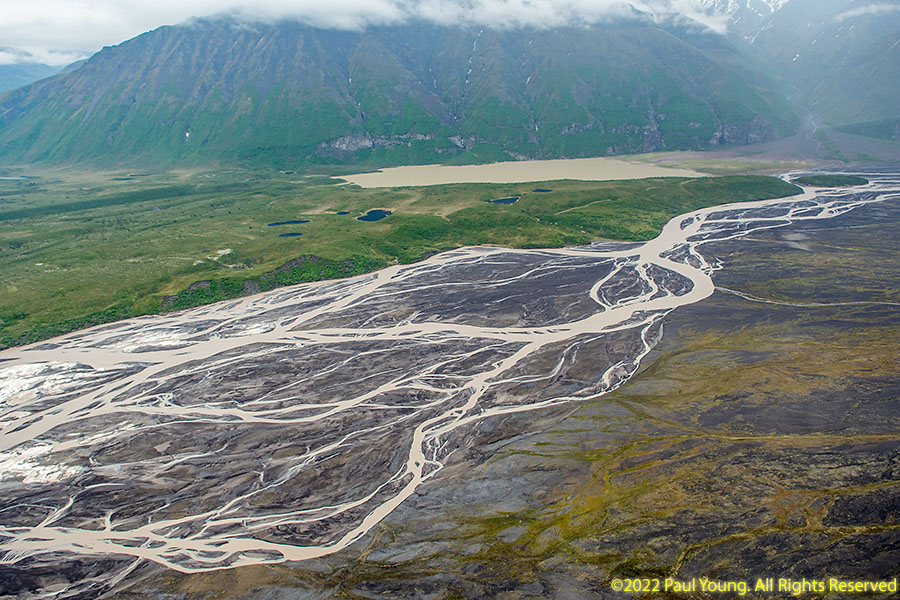
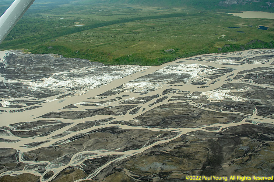
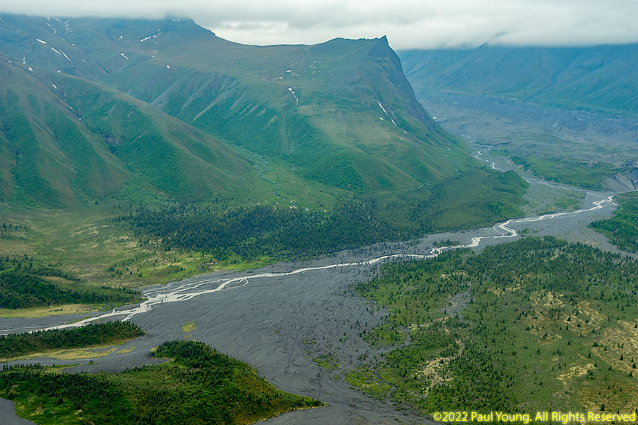
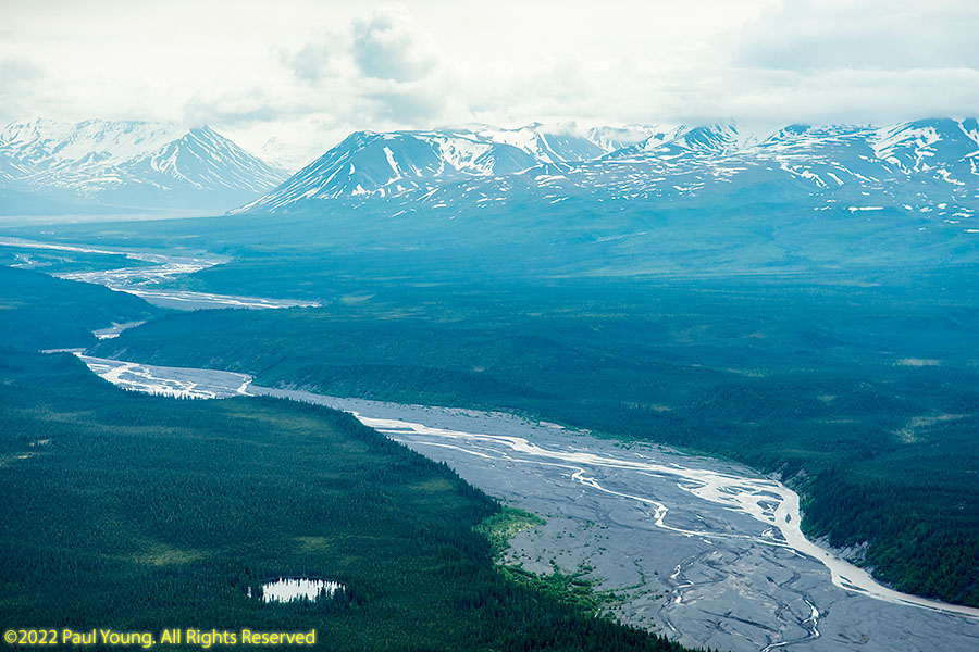
All of the rivers in the park other than the Chisana and Nebesna are tributaries of the Copper River, which flows along the western margin of the park and has its headwaters at Copper Glacier.
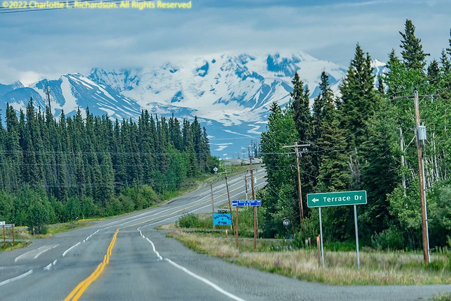
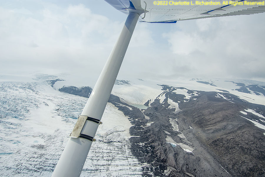
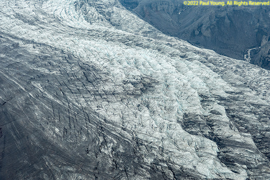
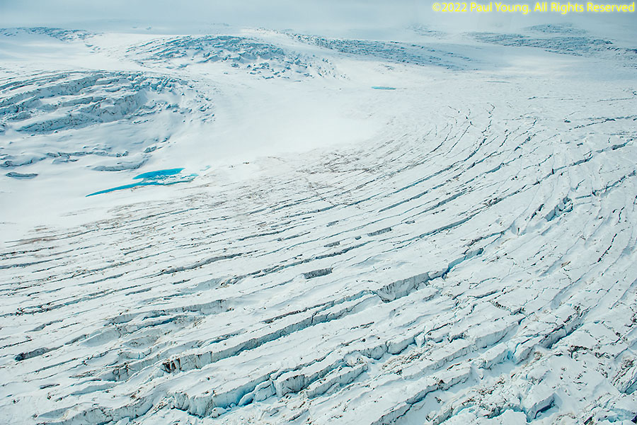
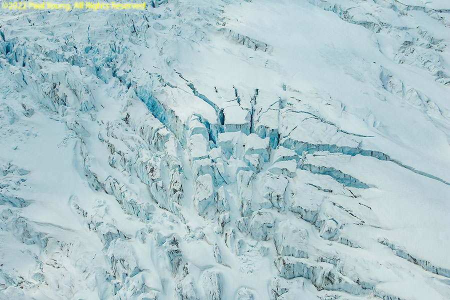
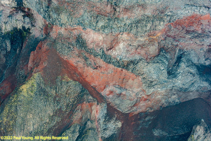
Mount Drum, visible from Glennallen, is the westernmost Wrangell volcano, and eleven glaciers flow from its summit icefield.
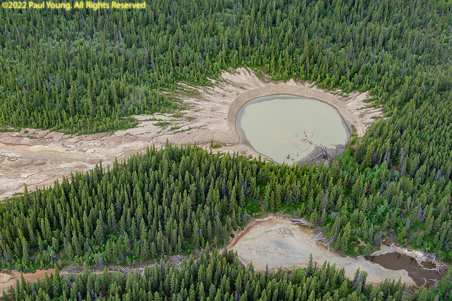
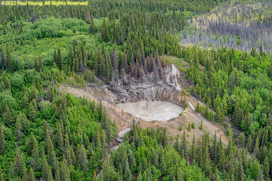
Several hot springs or mud volcanoes lie in the vicinity of Mount Drum.
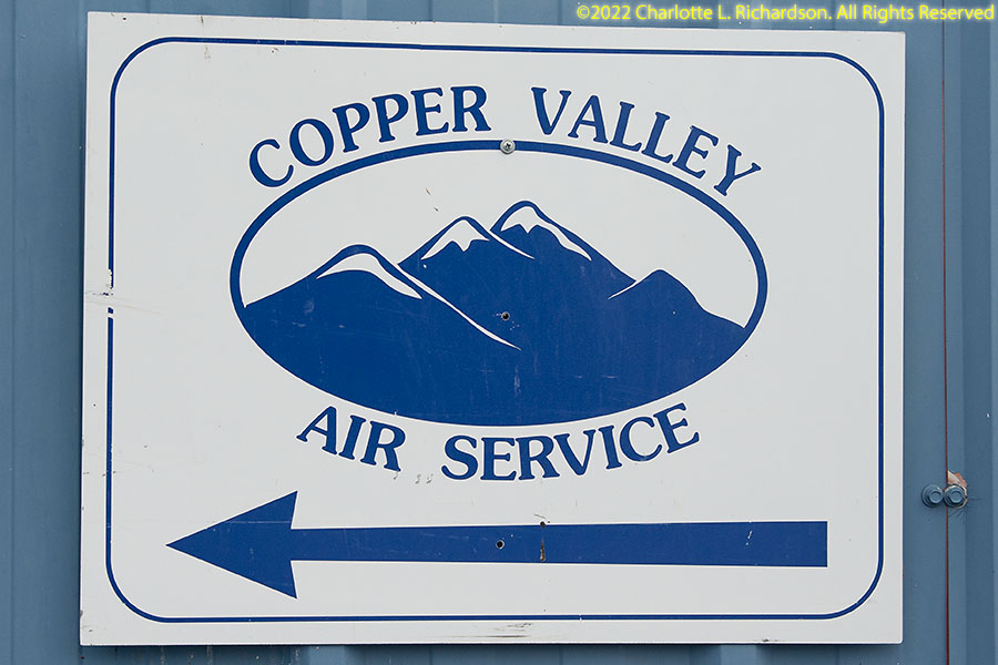
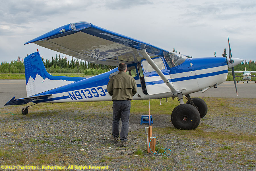
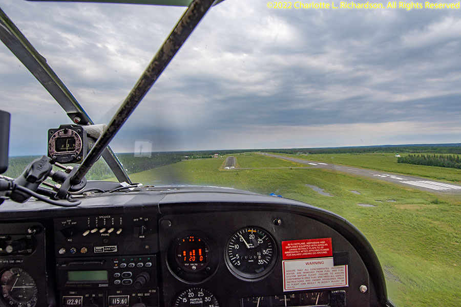
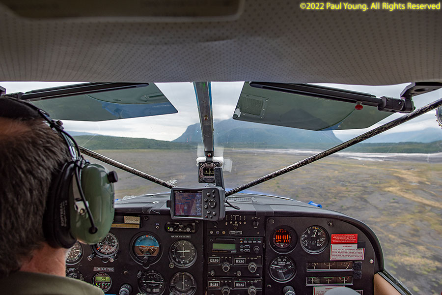
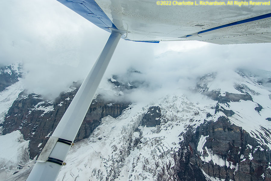
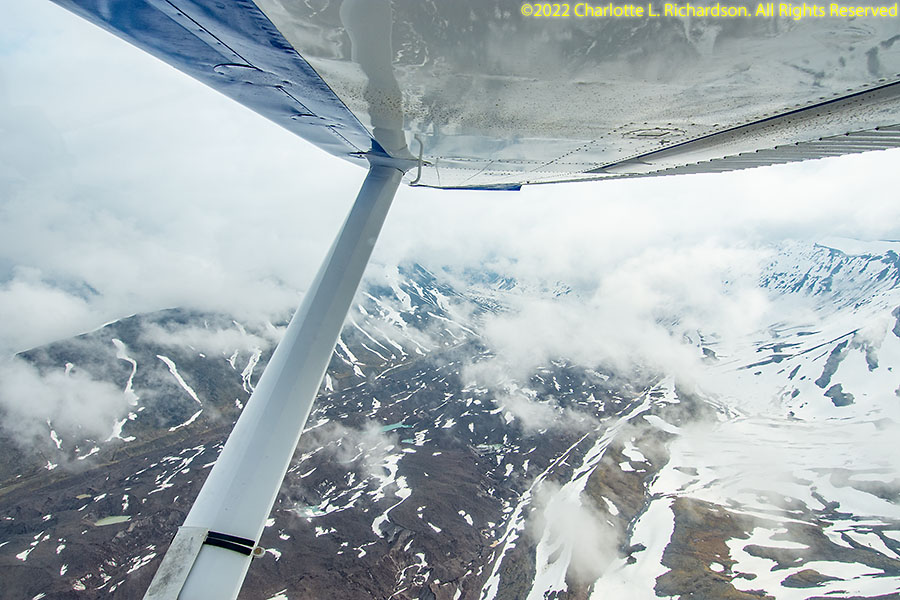
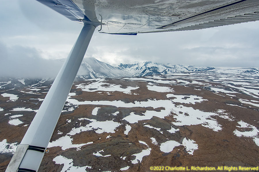
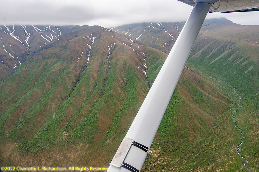
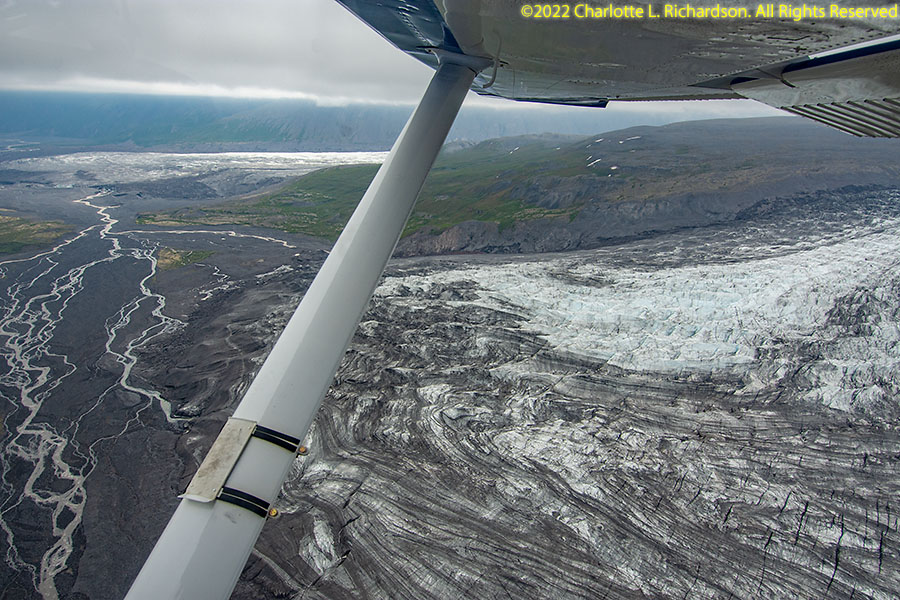
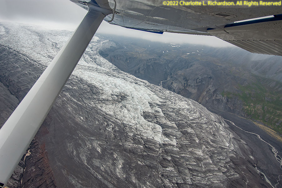
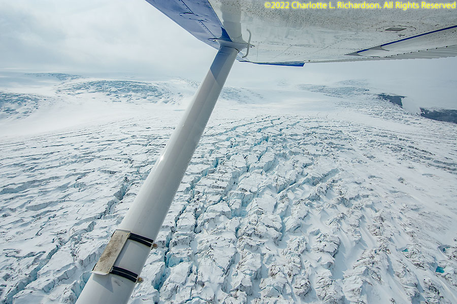
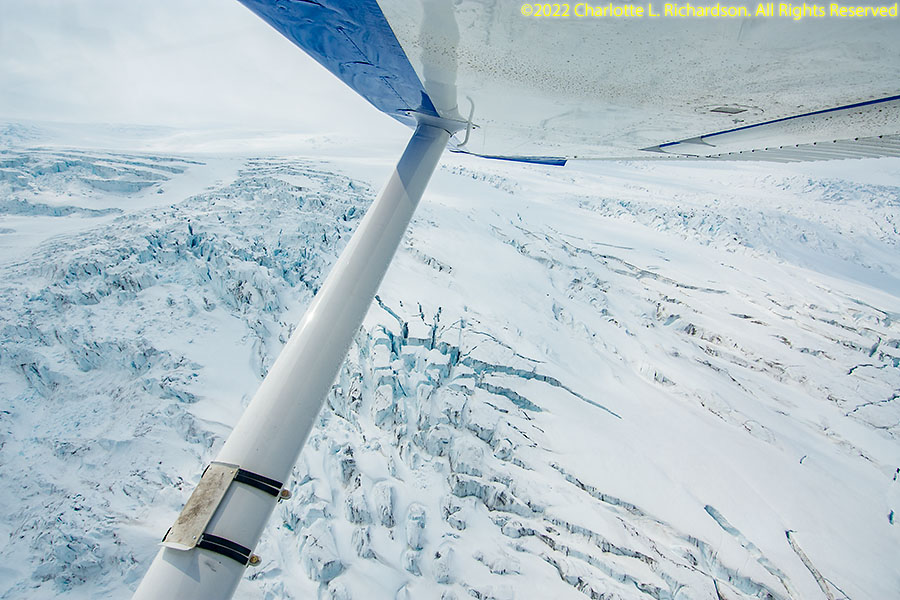
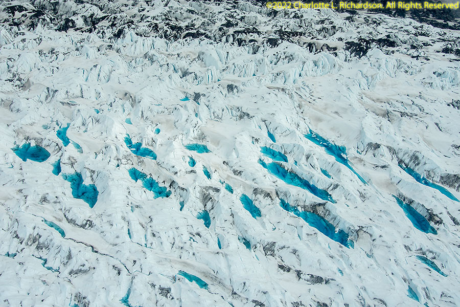
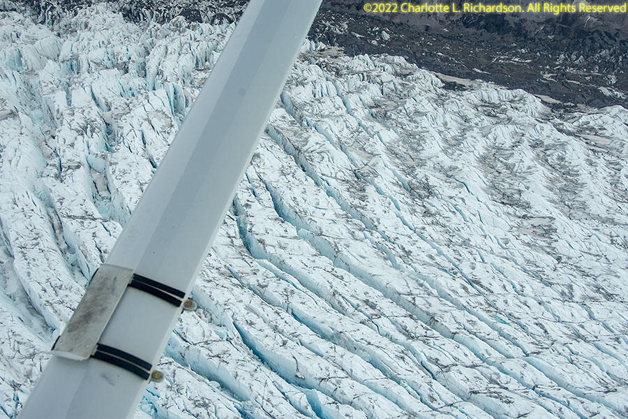
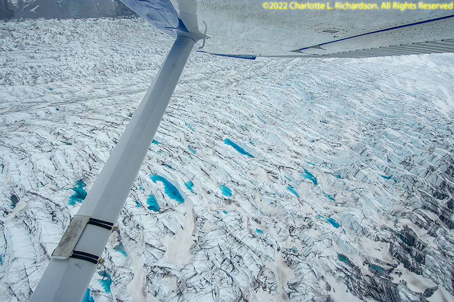
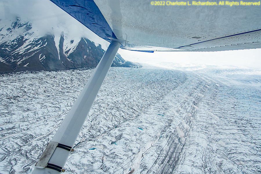
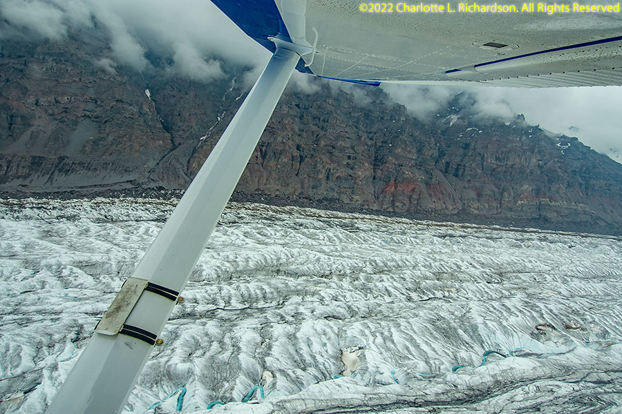
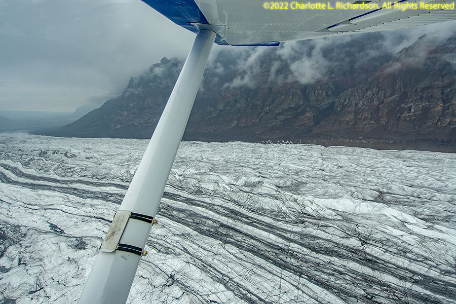
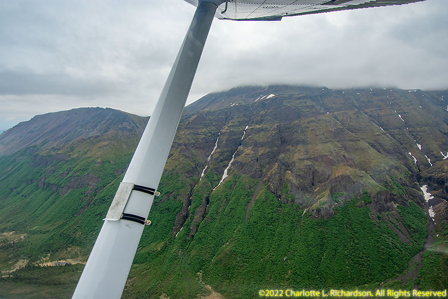
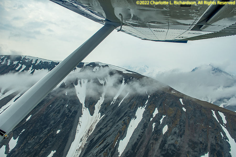
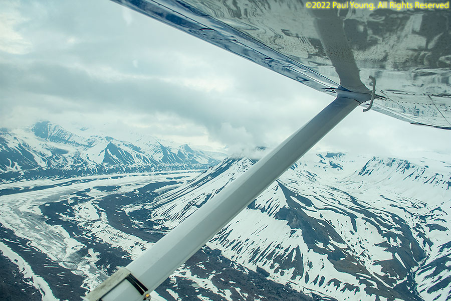
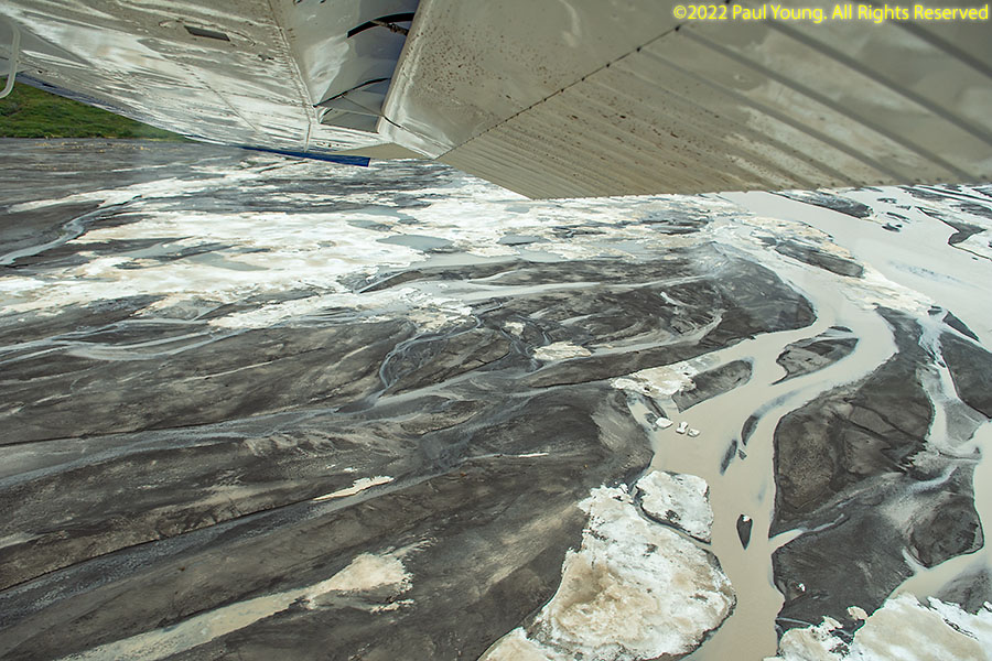
We chartered a C180 bush plane from Copper Valley Air Service at the Gulkana Airport for aerial photography.
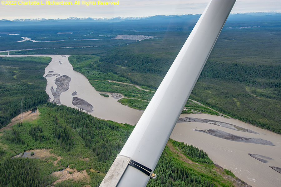
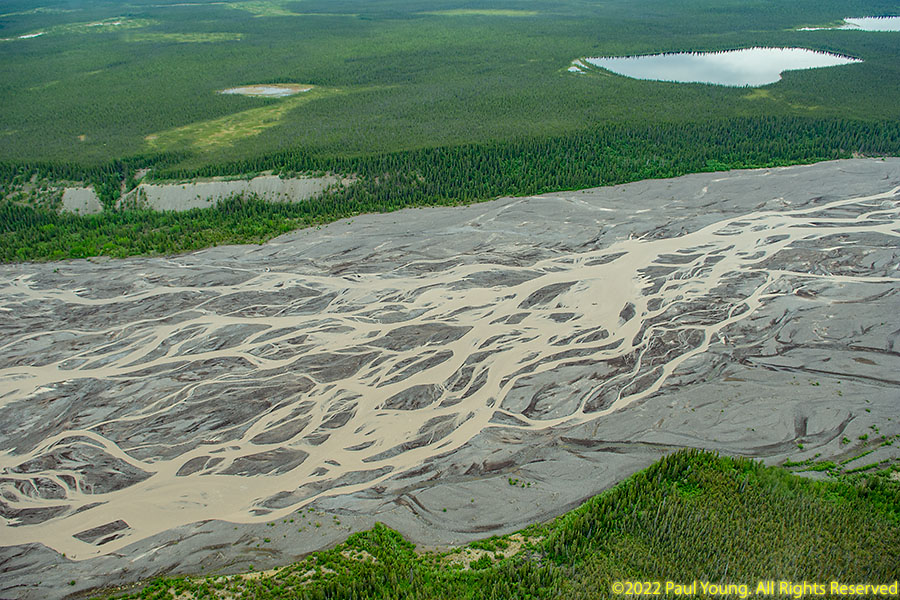
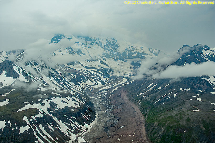
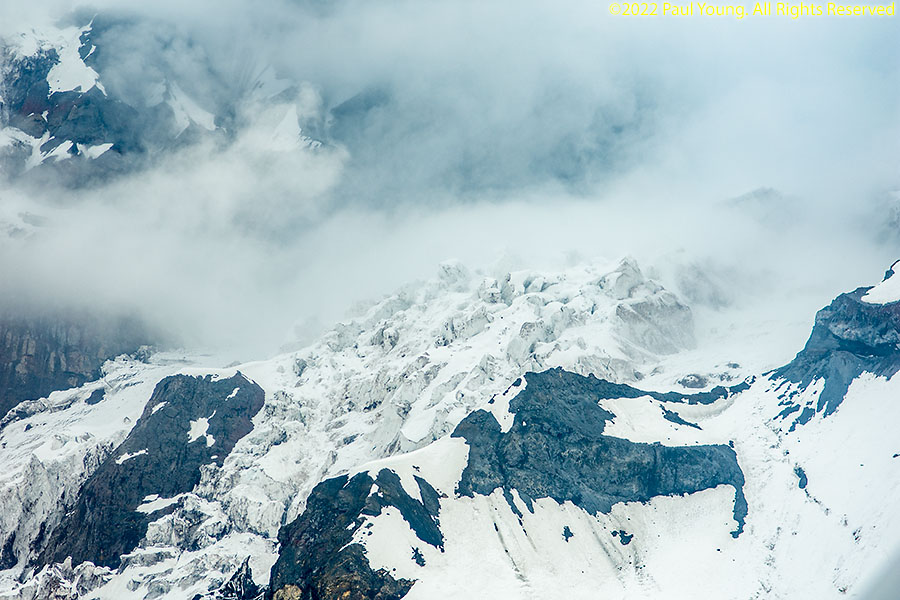
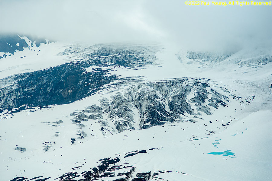
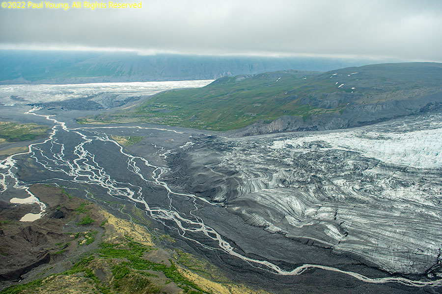
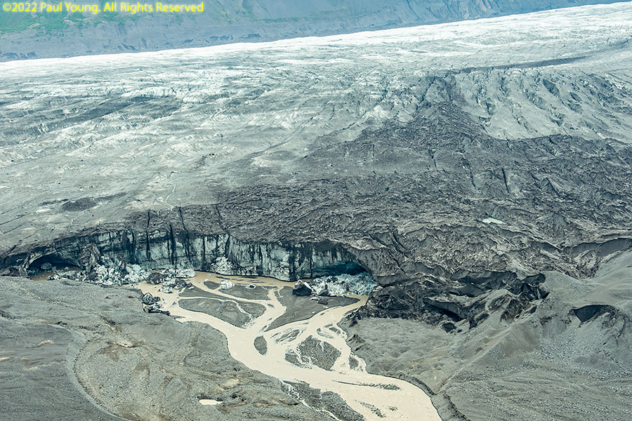
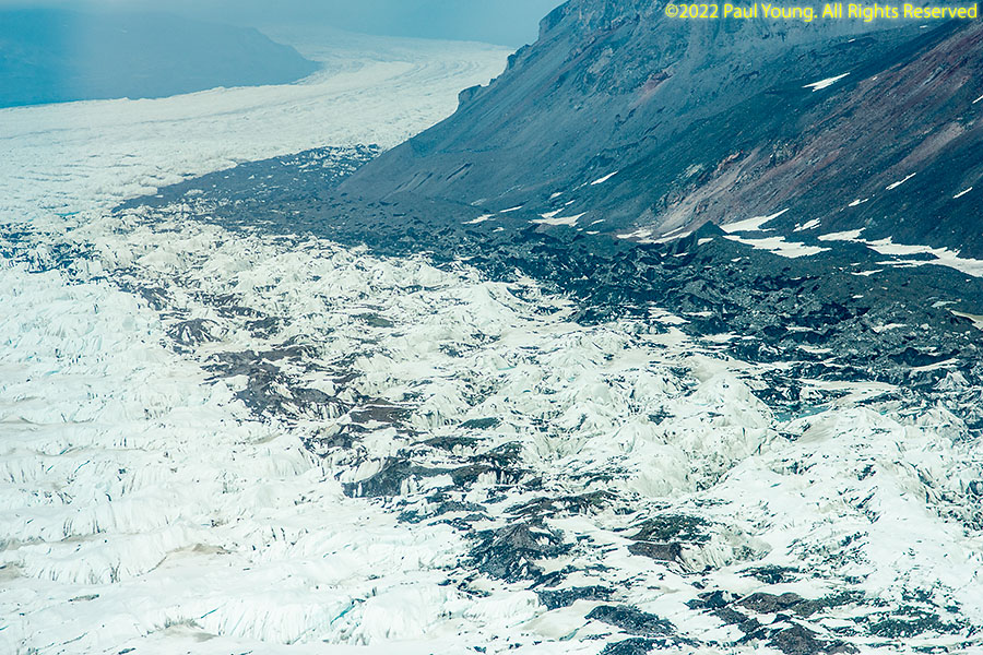
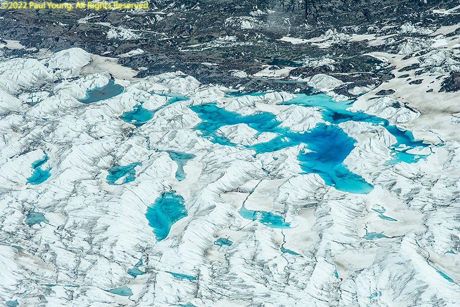
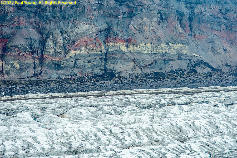
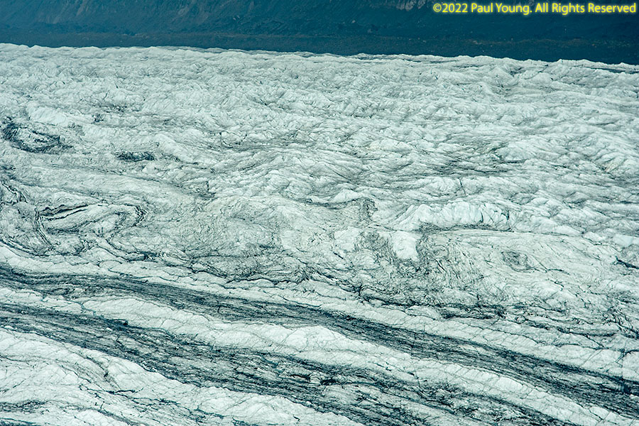
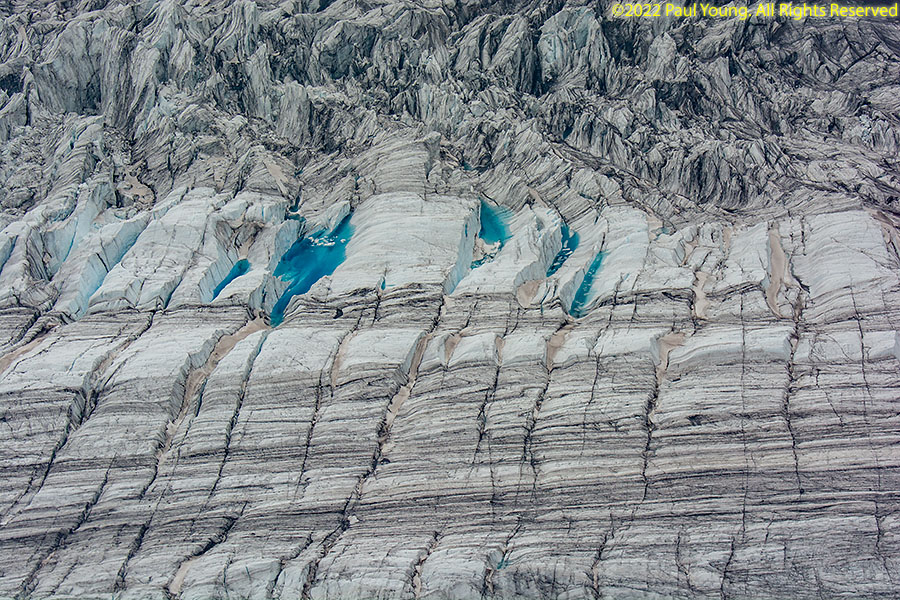
We landed on the gravel outflow plain of the Copper Glacier, which flows from Mount Wrangell.

Wrangell-St. Elias National Park:


©2022 Mermaid Underwater Photographic. All Rights Reserved.
This page sponsored by Mermaid Underwater Photographic. Contact us at mermaid@underwater.org.
Last modified 2 July 2022